


![]()
PARCO NATURALE REGIONALE DELL'AVETO
NATURAL PARK OF AVETO
IL PARCO IN POCHE FRASI
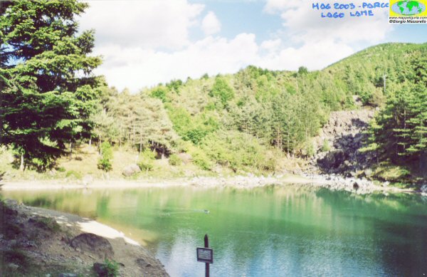
![]() Quasi tutto il territorio del Parco č costituito da estese foreste con piccoli laghetti glaciali, che sono la dimora di fauna e flora uniche.
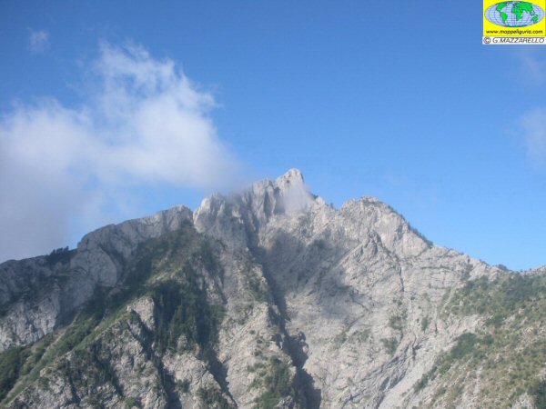
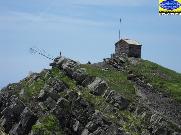
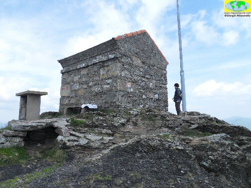
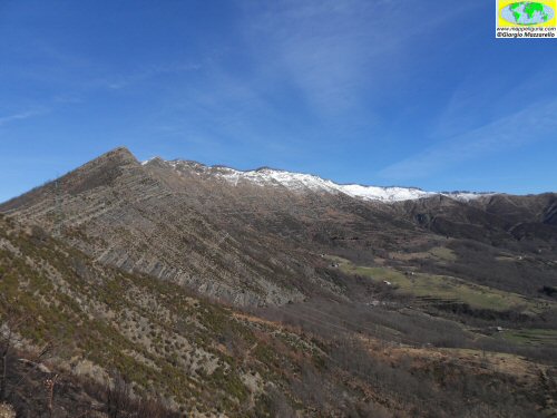
Le montagne creano ampi anfiteatri morenici con alte vette (Penna 1741m - Aiona 1702m) con una varietŕ geologica costituita
da rocce e minerali particolari. Questo e' il cuore del Parco che e' situato alle spalle del Tigullio e comprendente le valli Aveto, Graveglia e Sturla.
Quasi tutto il territorio del Parco č costituito da estese foreste con piccoli laghetti glaciali, che sono la dimora di fauna e flora uniche.
Le montagne creano ampi anfiteatri morenici con alte vette (Penna 1741m - Aiona 1702m) con una varietŕ geologica costituita
da rocce e minerali particolari. Questo e' il cuore del Parco che e' situato alle spalle del Tigullio e comprendente le valli Aveto, Graveglia e Sturla.
Attorno ai laghetti glaciali si estende una fitta foresta di abeti nella quale sono stati segnalati
parecchi percorsi escursionistici a tema geologico/ambientale.
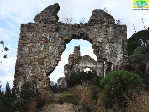
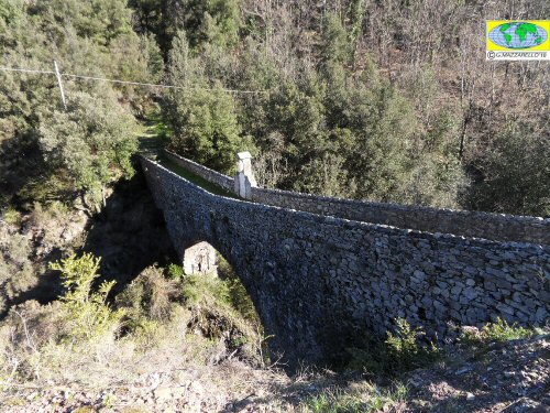
Merita la visita all'antica miniera di Gambatesa in val Graveglia dove e' stato creato un percorso turistico molto suggestivo.
THE PARK IN FEW WORDS
![]() Almost the entire area of the Park consists of vast forests with small glacial lakes,
which are home to unique flora and fauna.
The mountains around creating large moraine amphitheatres with high peaks (1741m Pen - Aiona 1702m)
and with a variety geology consists of rocks and minerals unique. This is the heart of the park,
which is located behind the Tigullio and including the valleys Aveto Graveglia and Sturla.
Almost the entire area of the Park consists of vast forests with small glacial lakes,
which are home to unique flora and fauna.
The mountains around creating large moraine amphitheatres with high peaks (1741m Pen - Aiona 1702m)
and with a variety geology consists of rocks and minerals unique. This is the heart of the park,
which is located behind the Tigullio and including the valleys Aveto Graveglia and Sturla.
Around the glacial lakes, surrounded by a thick forest of fir treeshave been realized
several geological/environmental hiking trails .
It is worth visiting the ancient Gambatesa mine in Val Graveglia, where he was created a
tourist route, in the galleries of the mine, very impressive.
- - LOCALIZZAZIONE E CONFINI / LOCATION AND BOUNDARIES
- - AMBIENTE / ENVIRONMENT (in lavorazione / work in progress)
- - GEOLOGIA / GEOLOGY (in lavorazione / work in progress)
- - FLORA e FAUNA / FLORA and FAUNA (in lavorazione / work in progress)
- - PRODOTTI TIPICI / TYPICAL PRODUCTS (in lavorazione / work in progress)
- - ACCESSIBILITA' E FRUIBILITA' / GETTING AROUND THE PARK (in lavorazione / work in progress)
- - CENTRI VISITA E PUNTI INFORMATIVI / VISIT and INFO POINTS (in lavorazione / work in progress)
- - DA NON PERDERE NEL PARCO / TO SEE ABSOLUTELY (in lavorazione / work in progress)
- - CARTA D'IDENTITA' DEL PARCO / IDENTITY CARD OF THE PARK
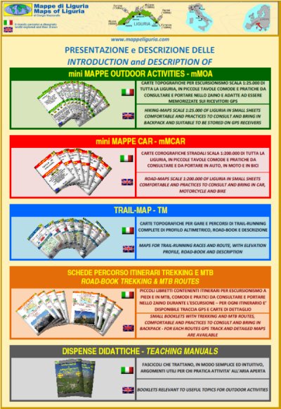
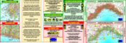
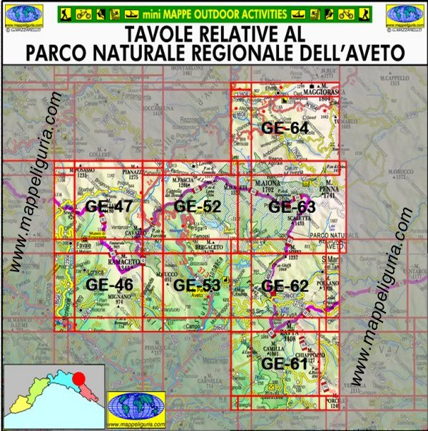
CARTE ESCURSIONISTICHE "mini MAPPE OUTDOOR ACTIVITIES" RELATIVE AL
PARCO NATURALE REGIONALE DELL'AVETO
SELEZIONA LA TAVOLA DA VISUALIZZARE
HIKING MAPS "mini MAPPE OUTDOOR ACTIVITIES" RELEVANT TO
NATURAL PARK OF AVETO
SELECT THE SHEET TO VIEW
Sei interessato a questo gruppo di carte? Richiedi ulteriori informazioni
Are you interested in this group of maps? Write me
- 122-Parco Aveto: Anello del Monte Ramaceto da Ventarola - 13.5 km; 670 m; 3:30-4:30 h
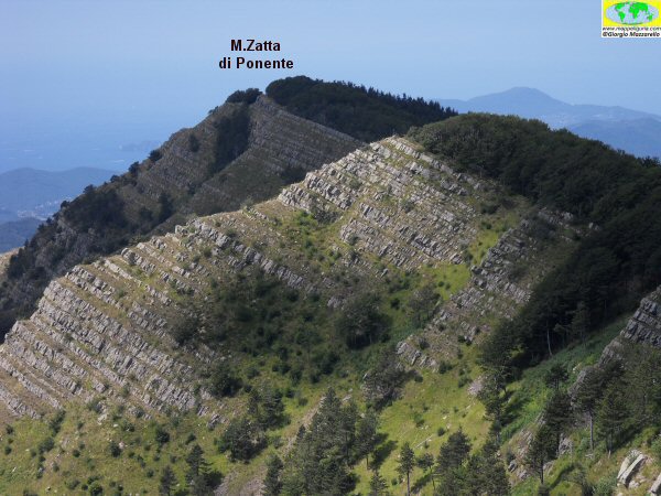
- 114-Parco dell'Aveto: Anello della faggeta del Monte Zatta - 10,5 km; 500 m; 3:00-3:30 h
- 080-Parco dell'Aveto:: Anello sud del Monte Ramaceto - 14 km; 900 m; 4:30-5:00 h

- 077-Parco Aveto: Anello del Lago di Giacopiane da Borzonasca - 34 km; 1200 m; 4:00-4:30 h (IN LAVORAZIONE)
- 059-Golfo del Tigullio: Anello Val Graveglia - Sestri Levante - Lavagna - 40 km; 1000 m; 3:30-4:00 h
- 058-Val Fontanabuona: Anello del Monte Carnella da Carasco - 32 km; 1200 m; 3:30-4:00 h
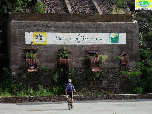
- 047-Val Graveglia: Anello della Miniera di Gambatesa - 35 km; 1000 m; 3:30:4:00 h
- 042-Parco dell’Aveto-Val Fontanabuona: Anello del Monte Ramaceto da Pianezza - 32 km; 1250 m; 3:30-4:00 h
- 026-Val Graveglia: Anello alto della Val Graveglia - 52 km; 1300 m; 4:30-5:00 h
- 025-Val Graveglia: Anello basso della Val Graveglia - 52 km; 1300 m; 4:30-5:00 h
ALCUNI PERCORSI NEL PARCO
SOME ROUTES IN THE PARK
TREKKING
IN LAVORAZIONE / WORK IN PROGRESS
MTB
IN LAVORAZIONE / WORK IN PROGRESS
