

![]()
Itinerari TREKKING - PIEMONTE
TREKKING routes - PIEMONTE
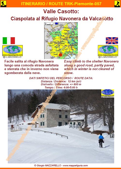
TRK-Piemonte-057 Valle Casotto: Ciaspolata al Rifugio Navonera da Valcasotto
DATA/DATE
Gennaio 2015
January 2015
NOTE GENERALI / GENERAL NOTES
Facile salita al rifugio Navonera lungo una comoda strada asfaltata e sterrata che in inverno non viene sgomberata dalla neve.
Easy climb to the shelter Navonera along a good road, partly paved, which in winter is not cleared of snow.
DATI SINTETICI DEL PERCORSO / ROUTE DATA
Distanza / Distance: 12 km (a/r)
Dislivello / Difference: +/-600 m
Tempo / Time: 4:00-5:00 h
LOCALITA' DI PARTENZA / STARTING PLACE
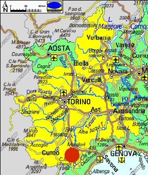
Il percorso inizia dal borgo di Valcasotto comune di Pamparato (CN)
The route starts from Valcasotto in the municipality of Pamparato (CN)
COME ARRIVARE / HOW TO REACH STARTING PLACE
![]() Dall�uscita di Niella Tanaro dell�autostrada A6, prendiamo a sinistra per San Michele Mondovi'
e poi per Pamparato, dove proseguiamo per Valcasotto, dove lasciamo
l�auto nel parcheggio coperto presso il centro del Borgo.
Dall�uscita di Niella Tanaro dell�autostrada A6, prendiamo a sinistra per San Michele Mondovi'
e poi per Pamparato, dove proseguiamo per Valcasotto, dove lasciamo
l�auto nel parcheggio coperto presso il centro del Borgo.
From the exit of Niella Tanaro of the A6 motorway, we take the left to San Michele Mondovi and then to Pamparato, where we continue up to Valcasotto, where we leave the car in the covered parking at the center of the village.
PERIODO / WHEN TO GO
Durante l�inverno con copertura nevosa.
During the winter with snow cover.
DIFFICOLTA' / DIFFICULTIES
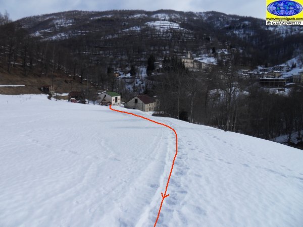
Secondo la scala CAI: T (Turistica)
Il percorso si svolge su strade sterrate e su sentieri segnalati.
![]()
According to CAI classification: T (for Tourists).
The whole route runs on paved roads, dirt roads and easy paths, always well marked.
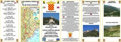
SCHEDA PERCORSO / ROAD-BOOK
LIBRETTO DI 8 PAGINE CON TUTTI I DATI PER EFFETTUARE L'ITINERARIO
BOOKLET OF 8 PAGES WITH INSIDE ALL INFOMATIONS TO MAKE THE ROUTE
CARTE DI DETTAGLIO / DETAILED MAPS
Tutto il percorso descritto e' contenuto nelle seguenti tavole della collana
mini MAPPE OUTDOOR ACTIVITIES
This route is showed on following
mini MAPPE OUTDOOR ACTIVITIES type maps
Sei interessato alle CARTE DI DETTAGLIO di questo percorso?
CONTATTAMI
Are you interested about DETAILED MAPS of this route?
WRITE ME
QUALCHE FOTO / SOME PICTURES
Case Piano
Case Piano

Verso Case Selvatici
Towards Case Selvatici
Presso Case Selvatici
At Case Selvatici
Presso Case Selvatici
At Case Selvatici
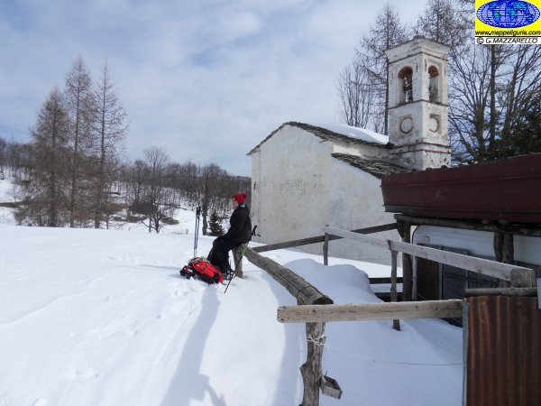
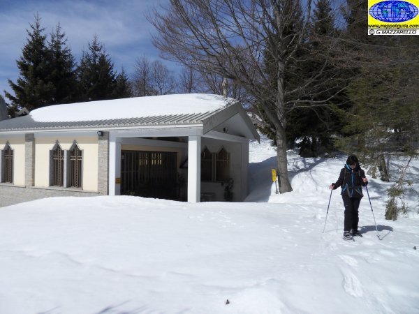
Chiesa di San Lorenzo
Church of San Lorenzo
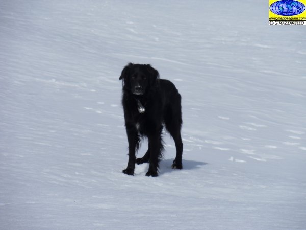
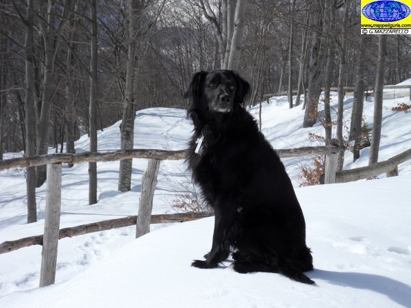
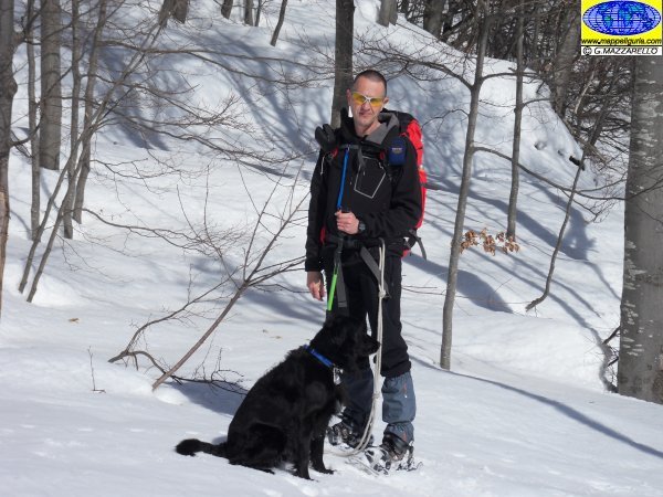
Tom
Tom
Chiesa di San Lorenzo
Church of San Lorenzo
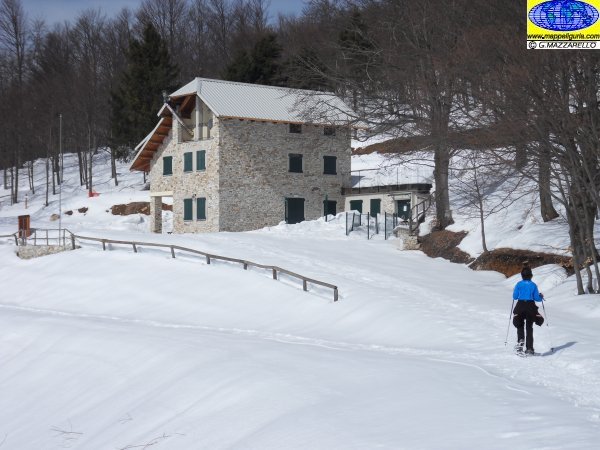
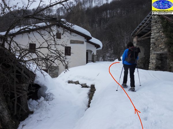
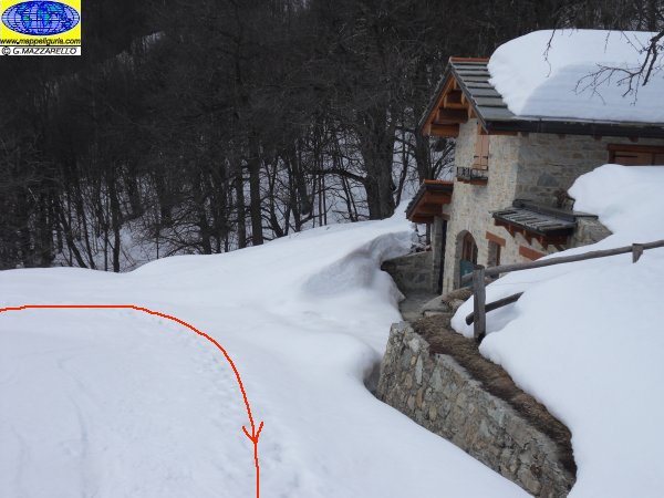
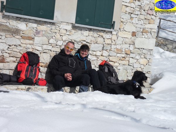
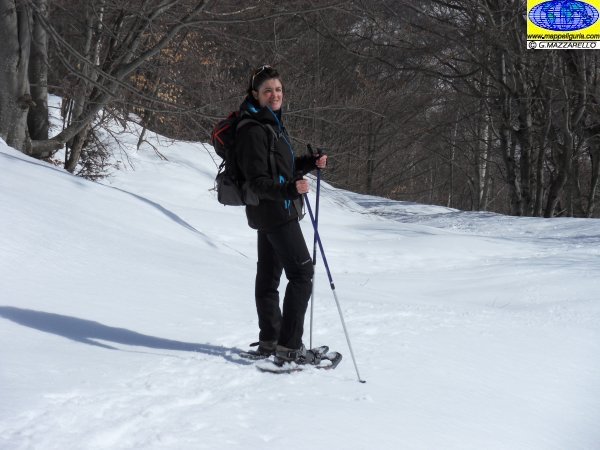
Presso il Rifugio Navonera
At Navonera Shelter
Tom
Tom
Presso il Rifugio Navonera
At Navonera Shelter
Presso il Rifugio Navonera
At Navonera Shelter
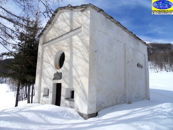
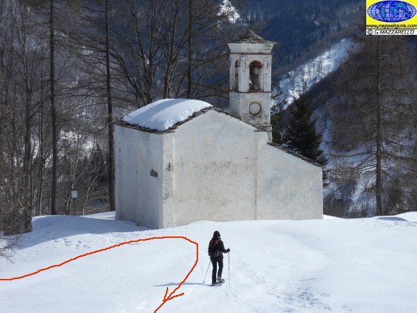
Cappella Navonera
Chapel Navonera
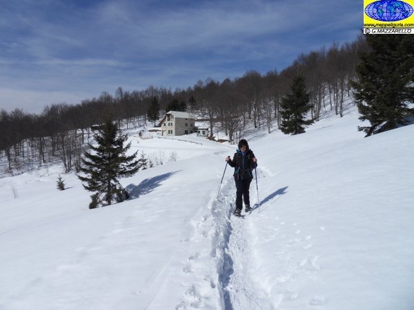
Lungo la via del ritorno
Along the way back
Lungo la via del ritorno
Along the way back
Lungo la via del ritorno
Along the way back
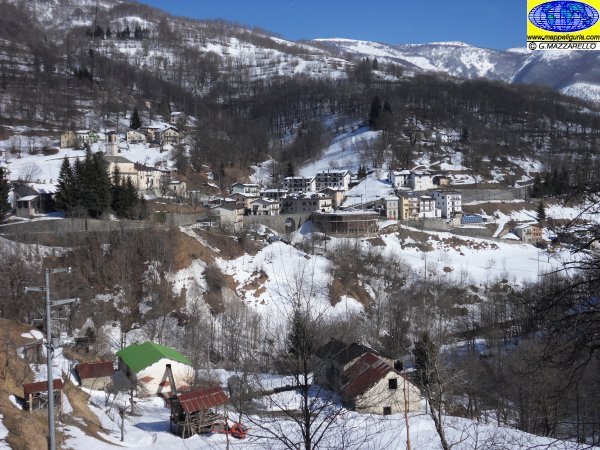
Panorama sul borgo di Valcasotto
Valcasotto Village
NOTE /NOTICE
Pur avendo prestato la massima attenzione nella stesura della descrizione del percorso, a causa della mutevolezza del territorio, della variabilita' delle condizioni meteo e di eventuali errori od imprecisioni o giudizi soggettivi indicati nel presente testo, l'autore declina ogni responsabilita' per eventuali incidenti che potrebbero verificarsi. Chi desidera effettuare questo percorso lo fa a proprio rischio e pericolo.
In the description of the route I have done the greatest care, but because of the changing nature of the area, the variability of weather conditions and any errors or inaccuracies or subjective judgments referred to in this text, the author disclaims all responsibility for any accidents that may occur. Those wishing to go this route you do so at your own risk.
Chiunque desiderasse avere maggiori informazioni su questo itinerario, mi
puo' contattare.
Do you want more information about this route?
Please write me
