


![]()
Itinerari TREKKING - Provincia di Imperia
TREKKING routes - Imperia district
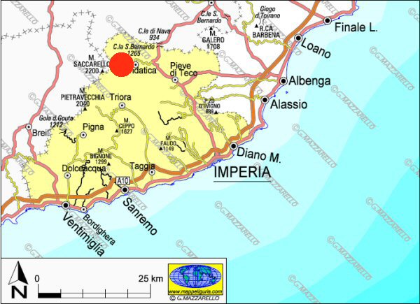
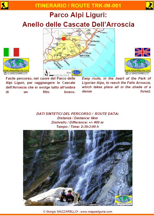
IM-001 - Parco delle Alpi Liguri: Cascate dell'Arroscia
DATA/DATE
Agosto 2009
August 2009
NOTE GENERALI / GENERAL NOTES
Facile percorso, nel cuore del PARCO DELLE ALPI LIGURI, per raggiungere le Cascate dell�Arroscia che si svolge tutto all�ombra di un fitto bosco.
Easy route, in the heart of the PARCO DELLE ALPI LIGURI, to reach the Falls Arroscia, which takes place all in the shade of a dense forest.
DATI SINTETICI DEL PERCORSO / ROUTE DATA
Distanza / Distance: 6 km
Dislivello / Difference: +/-400 m
Tempo / Time: 2:30-3:00 h
LOCALITA' DI PARTENZA / STARTING PLACE
Si parte da Mendatica, lungo la strada per S.Bernardo di Mendatica in localita� Pilone du Barbe� (IM)
The route starts from Mendatica, along the road to San Bernardo di Mendatica location 'Pilone du Barbe' (IM).
COME ARRIVARE / HOW TO REACH STARTING PLACE
![]() Da Albenga: dal casello della A10 prendiamo la strada 453 che percorriamo
fino a Pieve di Teco dove prendiamo la statale 28 in direzione Col di Nava.
Dopo poco deviamo a sinistra (provinciale 3IM) per raggiungere Mendatica.
Oltrepassiamo il paese in direzione S.Bernardo di Mendatica ed al
2� tornante (Pilun du Barb� - area picnic) lasciamo l�auto.
Da Albenga: dal casello della A10 prendiamo la strada 453 che percorriamo
fino a Pieve di Teco dove prendiamo la statale 28 in direzione Col di Nava.
Dopo poco deviamo a sinistra (provinciale 3IM) per raggiungere Mendatica.
Oltrepassiamo il paese in direzione S.Bernardo di Mendatica ed al
2� tornante (Pilun du Barb� - area picnic) lasciamo l�auto.
Da Imperia: dal casello della A10 prendiamo la statale 28 che percorriamo
fino a poco dopo Pieve di Teco, dove deviamo a sinistra (provinciale 3IM)
per raggiungere Mendatica. Oltrepassiamo il paese in direzione S.Bernardo
di Mendatica ed al 2� tornante (Pilun du Barb� - area picnic) lasciamo l�auto.
Starting from Albenga:
from the exit of the A10, we take the 453 road, which we follow until you reach
Pieve di Teco, where we take the SS 28 in the direction of Col di Nava.
After a little we turn off to the left (road 3IM) to reach Mendatica.
We pass the village in the direction of St. Bernard Mendatica and
the 2nd hairpin (Pilun du Barb� - picnic area) we leave the car.
Starting from Imperia:
from the exit of the A10 take the highway 28, which we follow until
shortly after Pieve di Teco, where we turn off to the left (provincial 3IM)
to reach Mendatica. We pass the village in the direction of St. Bernard Mendatica
and the 2nd hairpin (Pilun du Barb� - picnic area) we leave the car.
PERIODO / WHEN TO GO
Da inizio primavera ad autunno inoltrato.
Il percorso potrebbe essere percorribile anche in inverno, con neve e/o ghiaccio, solo se adeguatamente attrezzati.
From early spring to late autumn.
The path may be viable even in winter, with snow and / or ice, if properly equipped.
DIFFICOLTA' / DIFFICULTIES
Secondo la scala CAI: E (Escursionistica).
Tutto il percorso si svolge su sterrate, mulattiere, e su sentieri evidenti e segnalati.
According to the scale CAI: E (Escursionistica)
The whole route runs on paved roads, dirt roads and easy paths, always well marked.
SCHEDA PERCORSO / ROAD-BOOK
LIBRETTO DI 8 PAGINE CON TUTTI I DATI PER EFFETTUARE L'ITINERARIO
BOOKLET OF 8 PAGES WITH INSIDE ALL INFOMATIONS TO MAKE THE ROUTE
CARTE DI DETTAGLIO / DETAILED MAPS
Tutto il percorso descritto e' contenuto nelle seguenti tavole della collana
mini MAPPE OUTDOOR ACTIVITIES
This route is showed on following
mini MAPPE OUTDOOR ACTIVITIES type maps
Per raggiungere la localita' di partenza e' utile utilizzare la seguente tavola della
collana mini MAPPE CAR
To reach starting places is useful following
mini MAPPE CAR type map
Sei interessato alle CARTE DI DETTAGLIO di questo percorso?
CONTATTAMI
Are you interested about DETAILED MAPS of this route?
WRITE ME
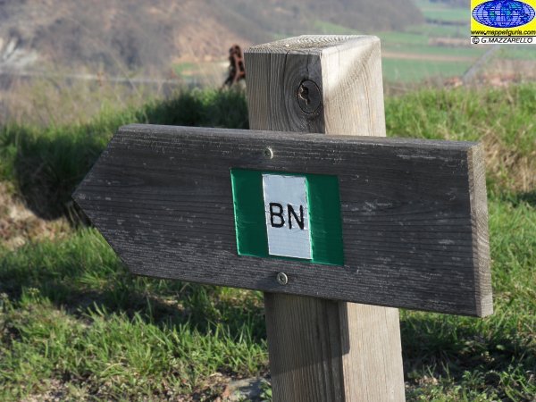
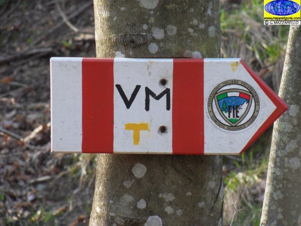
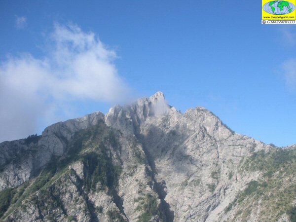
QUALCHE FOTO / SOME PICTURES
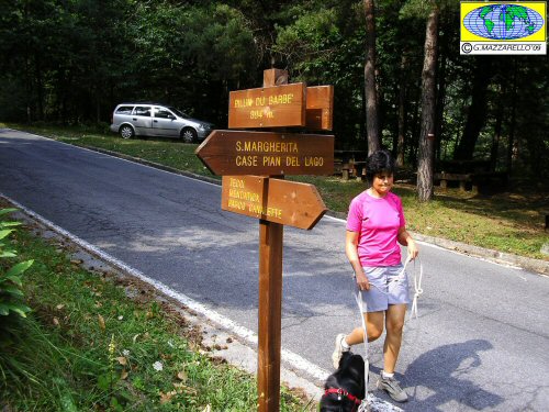
La localita' di partenza (Pilun du Barbe')
The place of departure (Pilun du Barbe ')
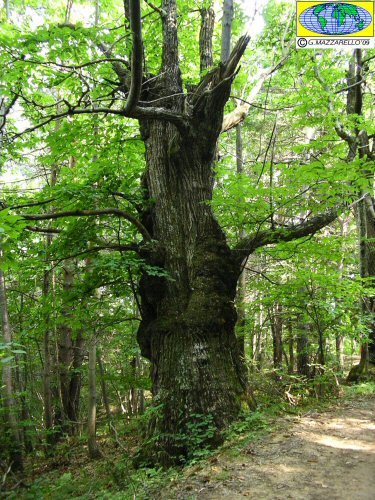
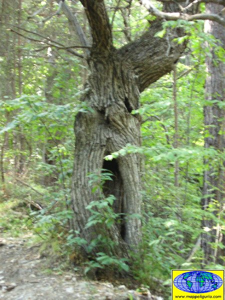
Un grosso albero di castagno lungo la prima parte del percorso
A big chestnut tree along the first part of the path
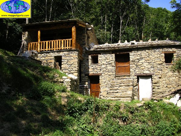
Presso Case Pian del Lago
At Pian del Lago Houses
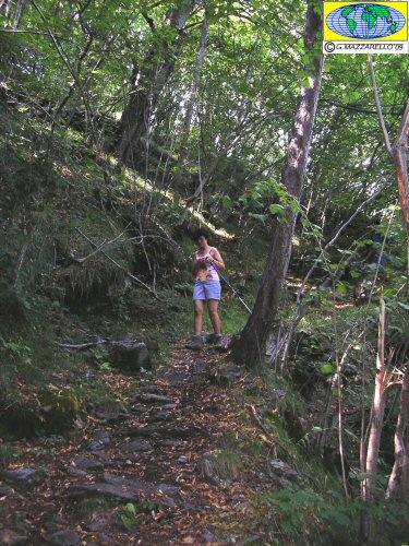
Lungo l'ombroso sentiero
Along the shady path
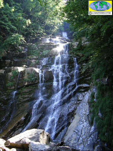
Presso le Cascate dell'Arroscia
At the Falls of the Arroscia
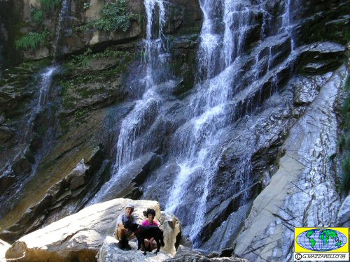
Presso le Cascate dell'Arroscia
At the Falls of the Arroscia
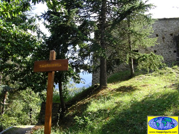
Presso la chiesetta di S.Margherita
Near S.Margherita church
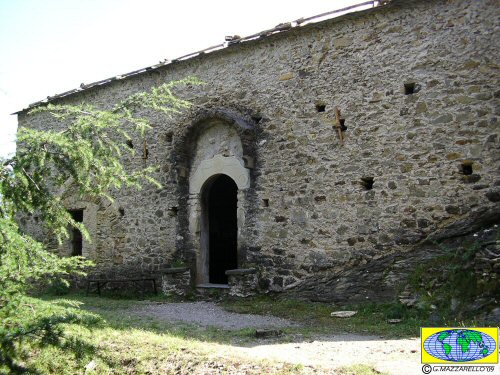
La chiesetta di S.Margherita
S.Margherita church
Lungo il sentiero di ritorno
Along return path
NOTE /NOTICE
Pur avendo prestato la massima attenzione nella stesura della descrizione del percorso, a causa della mutevolezza del territorio, della variabilita' delle condizioni meteo e di eventuali errori od imprecisioni o giudizi soggettivi indicati nel presente testo, l'autore declina ogni responsabilita' per eventuali incidenti che potrebbero verificarsi. Chi desidera effettuare questo percorso lo fa a proprio rischio e pericolo.
In the description of the route I have done the greatest care, but because of the changing nature of the area, the variability of weather conditions and any errors or inaccuracies or subjective judgments referred to in this text, the author disclaims all responsibility for any accidents that may occur. Those wishing to go this route you do so at your own risk.
Chiunque desiderasse avere maggiori informazioni su questo itinerario, mi
puo' contattare.
Do you want more information about this route?
Please write me
