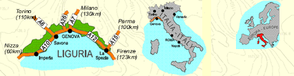


![]()
Itinerari MTB - Piemonte
MTB routes - Piemonte
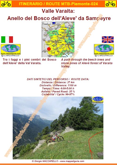
Piemonte-024 - Valle Varaita: Anello del Bosco dell'Aleve' da Sampeyre
DATA/DATE
Luglio 2014
July 2014
NOTE GENERALI / GENERAL NOTES
Tra i faggi e i pini cembri del Bosco dell�Aleve� della Val Varaita.
A path through the beech trees and stone pines of Alev� forest of Varaita Valley
DATI SINTETICI DEL PERCORSO / ROUTE DATA
Distanza / Distance: 37 km
Dislivello / Difference: +/-1100 m
Tempo / Time: 4:00-5:00 h
Asfalto /Paved roads: 35%
Ciclabilita' / Cycle: 96-97%
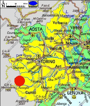
LOCALITA' DI PARTENZA / STARTING PLACE
Il percorso parte da Sampeyre (CN)
The route starts from Sampeyre (CN)
COME ARRIVARE / HOW TO ARRIVE
Dall'uscita del casello di Cuneo dell'Autostrada A33 prendiamo per Busca e poi per Costigliole Saluzzo, dove deviamo a sinistra per risalire tutta la Valle Varaita fino a raggiungere Sampeyre, dove lasciamo l'auto nella borgata Palazzo, nel posteggio presso il bivio che sale a Becetto.
From the exit of Cuneo of the motorway A33, we take for Busca and then for Costigliole Saluzzo, where we turn off to the left to climb the entire Varaita Valley until we reach Sampeyre, where we leave the car in the village Palazzo, in the parking lot at the junction which goes to Becetto.
PERIODO / WHEN TO GO
Da inizio estate ad autunno inoltrato.
From early summer to late autumn.
DIFFICOLTA' / DIFFICULTIES
Secondo la scala CAI: BC (Buoni Ciclisti)
TECNICHE:
Si tratta di un percorso abbastanza discontinuo, che percorre asfaltate e sterrate ciclabili e sentieri a tratti difficoltosi e non sempre ciclabili.
I tratti da segnalare sono i seguenti:
- 350 m di sentiero non ciclabile in salita poco prima della Croce d�Alie
- alcuni brevi tratti di sentiero non ciclabile e leggermente esposto tra Croce d�Alie e Roccio Peirauto
- 1 km di sentiero in salita non ciclabile nella zona della Grangia Pralambert.
- qualche breve passaggio difficoltoso nel tratto Grange Pralambero Sottano � Rifugio Grongios Martre
IMPEGNO FISICO:
L�impegno fisico e� da considerare medio-alto. Il dislivello non e' eccessivo, ma i tratti non
ciclabili rendono il percorso un poco piu� faticoso del normale.
According to the scale CAI: BC (Good Cyclists)
TECHNICAL:
It is a fairly uneven path, which runs along paved and unpaved paths and trails sometimes difficult and not always suitable for MTB.
The traits to be reported are the following:
- 350 m of non cycle path uphill just before the Croce d�Alie
- Some short stretches of non cycle path, and slightly exposed between Croce d�Alie and Roccio Peirauto;
- 1 km of uphill foot-path non cycle in the area of Grangia Pralambert.
- Difficult in some short stretch along foot-path Grange Pralambero Sottano - Refuge Grongios Martre
PHYSICAL:
Physical effort is considered medium-high heat. The difference in height is not excessive,
but the parts of the route not suitable for bike, increase the effort.
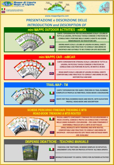
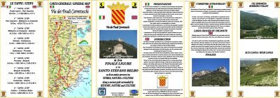
SCHEDA PERCORSO / ROAD-BOOK
LIBRETTO DI 14 PAGINE CON TUTTI I DATI PER EFFETTUARE L'ITINERARIO
BOOKLET OF 14 PAGES WITH INSIDE ALL INFOMATION TO MAKE THE ROUTE
QUALCHE FOTO / SOME PICTURES
Presso Calchesio
At Calchesio
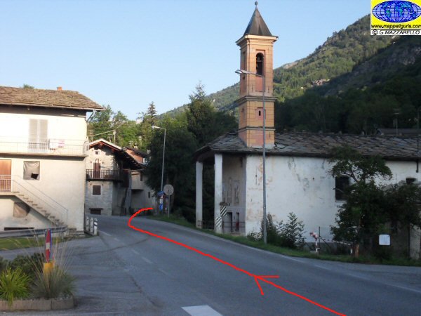
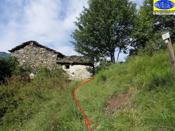
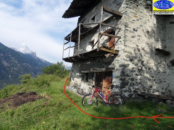
Il piccolo borgo di Ciampanesio
The small village of Ciampanesio
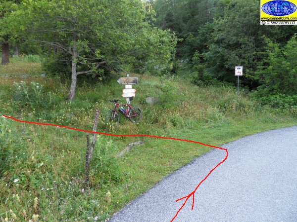
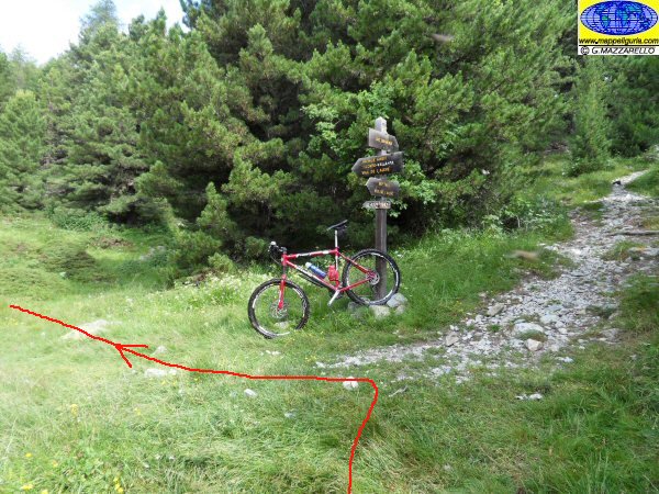
L'inizio del sentiero poco dopo Ciampanesio
The beginning of the footpath shortly after Ciampanesio
Lungo il sentiero verso la Croce d'Alie
Along the path towards the Cross of Alie

Presso la Croce d'Alie
At Cross of Alie
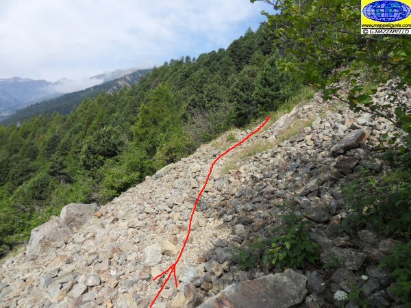
La pietraia che si attraversa prima della Grange Brondu
The field of stones that you cross before the Grange Brondu
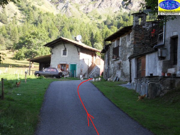
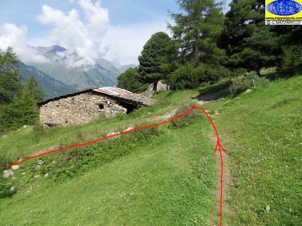
Presso la Grange Brondu
At Grange Brondu
Presso le Grange Auriol Superiore
At Grange Auriol Superiore
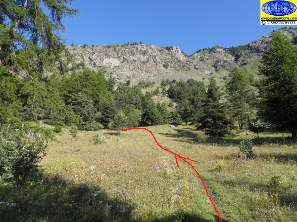
Presso l'ampio prato che si attraversa prima del Roccio Peirauto
At the wide lawn before Roccio Peirauto
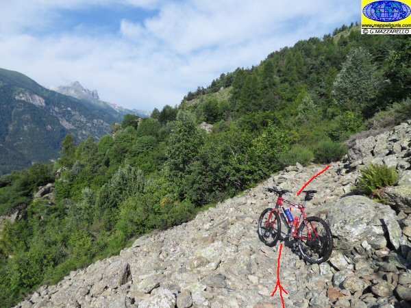
Presso la pietraia del Roccio Peirauto
At the stone field of Roccio Peirauto
Presso la Grange Pralambert Sottano
At Grange Pralambert Sottano
Presso la Grangia Pralambero Soprano
At Grangia Pralambero Soprano
Il bivio dove si lascia a destra il sentiero per il Lago Bagnour
The junction where we leave to right the path to Lake Bagnour
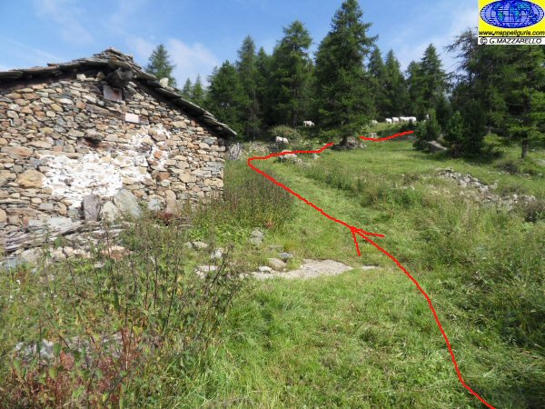
Presso la Grangia Gronetto, dove si imbocca a destra la sterrata del Bagnour
At the Grangia Gronetto, where we turn right into the dirt road of the Bagnour
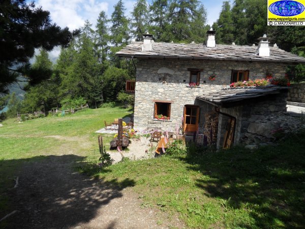
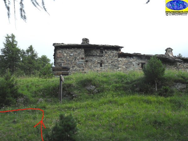
Presso il Rifugio Grongios Martre
At Grongios Martre Shelter
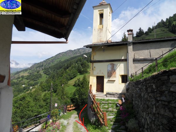
La piccola chiesa di Villaretto
The small church of Villaretto
Presso il Rifugio Aleve', dove si lascia la strada asfaltata per deviare a destra su strada sterrata
At the shelter Aleve', where you leave the paved road to turn right on a dirt road
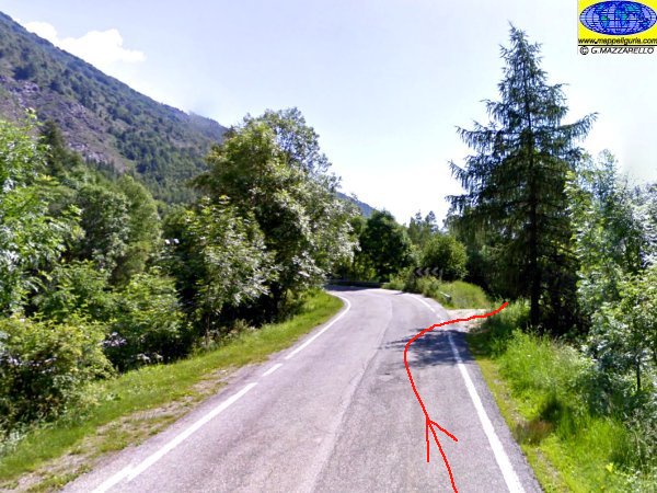
Presso il tornante poco prima di Casteldelfino
At the hairpin bend just before Casteldelfino
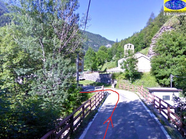
Presso la chiesa di S.Eusebio di Casteldelfino
At S. Eusebio church of Casteldelfino
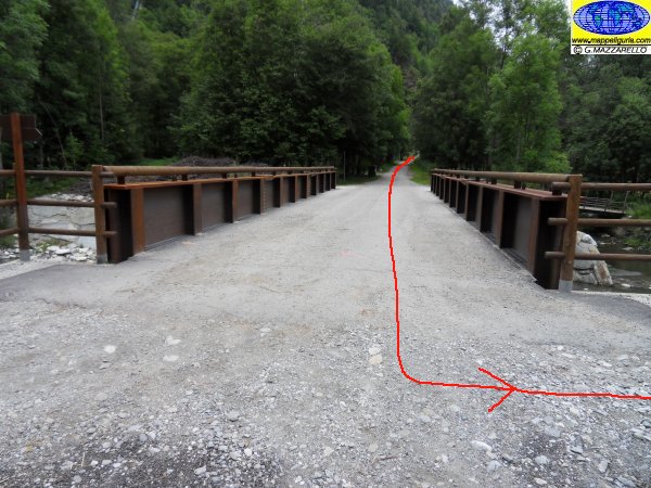
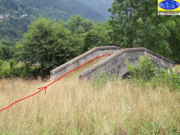
Presso il Ponte Bac
At Bac bridge
Lungo la sterrata per il borgo di Torrette
Along the dirt road to the village of Torrette
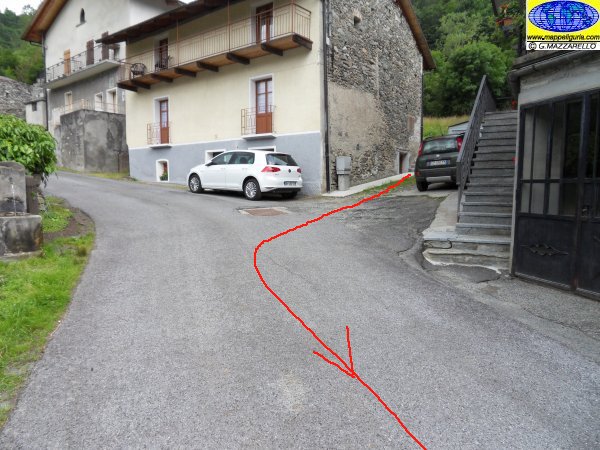
Il bivio dove ci si innesta sulla strada asfaltata poco prima di Torrette
The junction where the dirt road joins the paved road just before Turrets
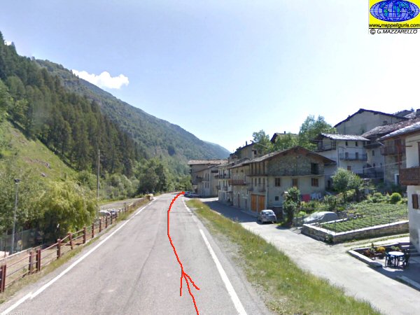
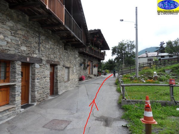
Presso il borgo di Torrette
At the village of Torrette
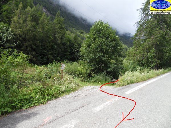
Dove si lascia la strada asfaltata poco dopo il borgo di Torrette
Where we leave the paved road, shortly after the village of Towers
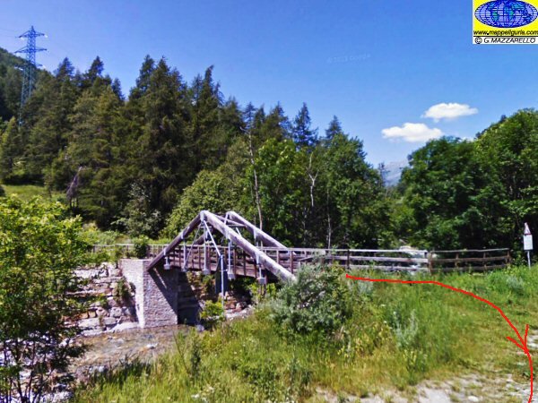
Il ponte in legno poco prima di Villar, dove si attraversa il Torrente Varaita e si imbocca la strada asfaltata a destra
The wooden bridge just before Villar, where we cross the stream Varaita and take the paved road to the right
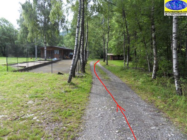
Presso il campo da bocce di Villar
At the bocce court of Villar
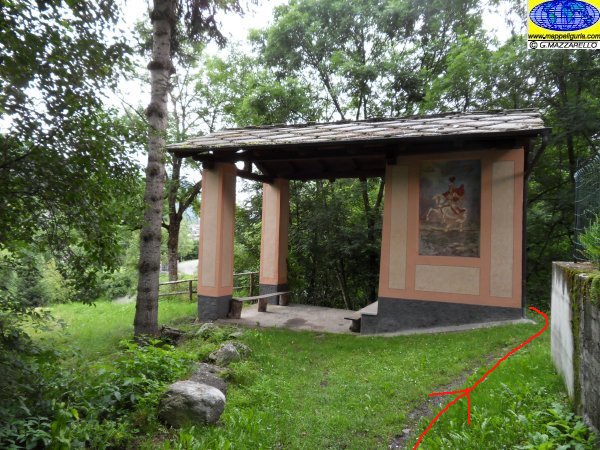
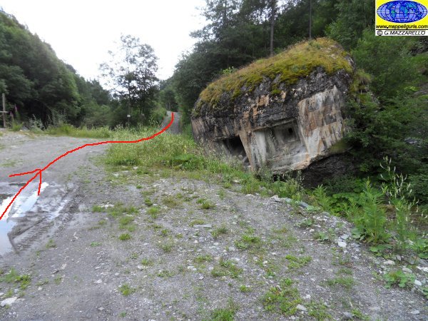
La grossa edicola votiva poco prima di Fiandrin
Presso Fiandrini
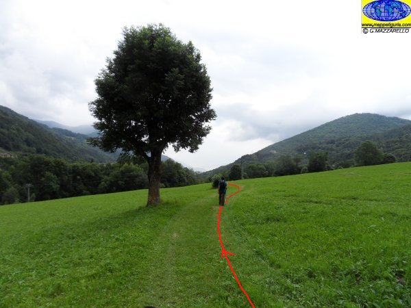
Tra i prati poco dopo Fiandrini
The big shrine just before Fiandrini
Il ponte in pietra che attraversa la condotta forzata di Dughetti
The stone bridge that crosses the pipe penstock of Dughetti
Presso Dughetti
At Dughetti
NOTE /NOTICE
La percorribilita' in MTB di qualsiasi itinerario e' molto soggettiva e dipende dall'allenamento, dalle capacita' tecniche individuali e dalle condizioni del terreno. In linea generale e' necessario comunque un discreto allenamento ed un minimo di capacita' tecniche. Chi pratica MTB lo fa a suo rischio e pericolo. Nei tratti impegnativi o pericolosi si consiglia comunque di non rischiare e scendere dalla bici. Lungo i sentieri, le strade sterrate ed in generale lungo tutti i percorsi, si raccomanda di dare assoluta precedenza agli escursionisti ed a tutti i pedoni. L'autore declina ogni responsabilita' per eventuali incidenti che potrebbero verificarsi.
The practicability of any MTB route is very subjective and depends on training, individual technical skill and on ground conditions. In general, however, a reasonable workout and a minimum of technical skills is required. Those who practice MTB do it on own risk. Along challenging or dangerous path it is better not to risk it and proceed on foot with hand bike. Along all foot-paths, trails and dirt roads, and in general along all paths, it is recommended to give absolute priority to all hikers and pedestrians. The author disclaims all responsibility for any accidents that may occur.
Chiunque desiderasse avere maggiori informazioni su questo itinerario, mi
puo' contattare.
Do you want more information about this route?
Please write me
